
Case study · Real Estate
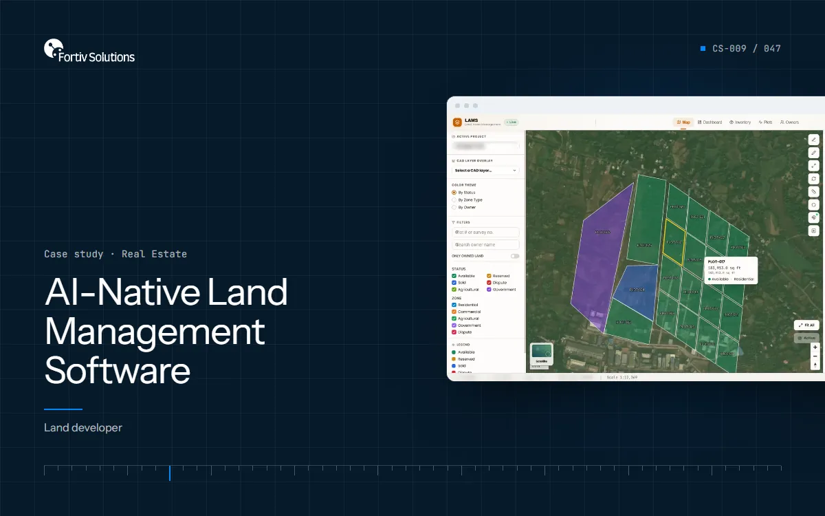
AI-Native Land Management Software
Large plotted land layouts — residential, commercial, agricultural and government parcels — managed across active sites.
Engagement record
- Client
- Land developer
- Industry
- Real Estate
- System
- Plot management · CAD & GIS map · Field updates
About this write-up
This case study describes the engagement as recorded. The client is not named; figures and outcomes are as reported by the client and have not been independently audited.
The challenge
CAD drawings, maps, stock and field updates lived in separate tools and WhatsApp chats. Updates reached the office days late, material went unaccounted for, and parallel spreadsheets risked the same plot being sold twice.
Objectives
- CAD drawings onto the map
- Field updates over WhatsApp
- Challan and receipt reading
- Plots by status, zone and owner
Discovery
We built this land management system for a land developer managing large plotted layouts. CAD drawings go straight onto a satellite map, site supervisors update plots and stock by WhatsApp voice note or a photo of a delivery challan, every booking and boundary change is written to a tamper-evident audit trail, and no plot can ever be sold twice.
What was built
- CAD drawings onto the map. Upload AutoCAD DWG or DXF layouts and the plots are placed on the satellite map using three reference points.
- Field updates over WhatsApp. Supervisors send a voice note like “foundation done on Plot 2, 15 bags of cement used” and the plot and stock update on their own.
- Challan and receipt reading. Photograph a supplier's delivery challan; supplier, items, quantities and rates are read and added to stock.
- Plots by status, zone and owner. Colour the map by available, reserved, sold or disputed, or by zone and owner, and filter by plot or survey number.
- Stock with reorder alerts. Material stock drops as it is used on site, with a warning before anything runs low.
- Executive dashboard. Valuation, occupancy, zoning, stock and recent audit activity on one screen for leadership.
Outcomes as reported
Reported summary: < 3s — field update to office, down from 1–3 days.
| Figure | What it refers to |
|---|---|
| < 3s | Field update to office, down from 1–3 days |
| 80% | Faster to get new layouts onto the map |
| 95% | Less time spent preparing for audits |
Figures as reported in the engagement record; not independently audited.